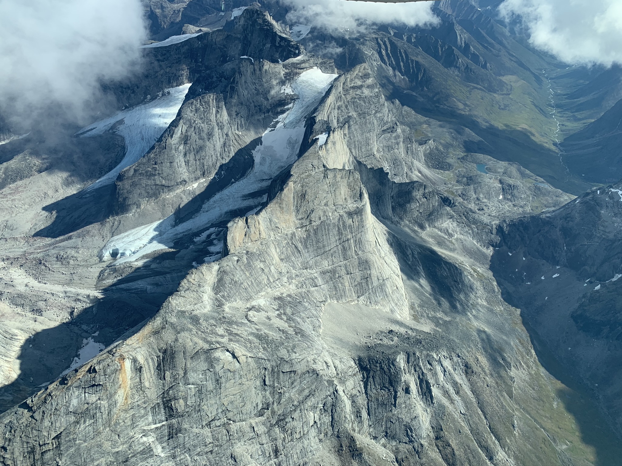
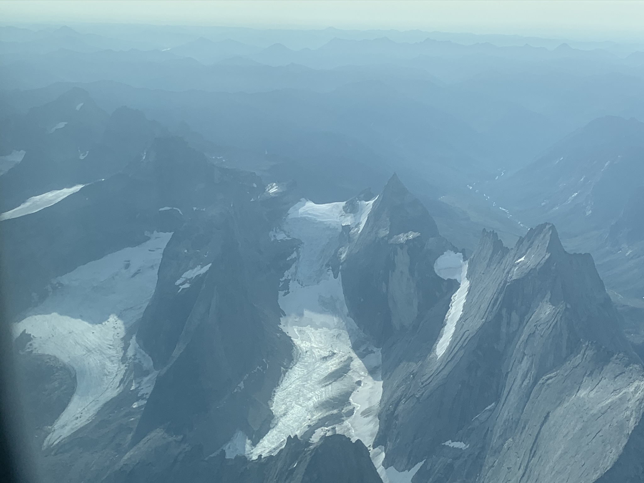
Recently I had an opportunity to look at something else in the frozen world: Frozen Debris Lobes. These are masses of debris on mountain sides that contain ice and become mobilized. As was made clear to me, they are not rock glaciers. If you don't believe me, watch this. My favorites are Infiltration Ice and Not a Rock Glacier.
I brought a Terrestrial Radar Interferometer up the Dalton Highway to try to measure the motion of these debris lobes. We have used this instrument on glaciers quite a bit, but it turns out to work really well on slower moving things as well. After a few hours of measurements we could confirm that one of the lobes moves at about 15 cm/day.
Here is a look at FDL 7. It is a feature just left of the center of the image across the valley.

Here is how the radar sees it (the units are in meters/day)
 |
This picture was taken on top of a debris lobes. Opening cracks split this tree into five sections.
|
 |
Margaret Darrow, the frozen debris lobe lady
|
 |
Frozen Debris Lobe A is just about to take over an old road bed of the Dalton Highway. The highway was moved downslope a few years ago.
|