Tuesday, May 27, 2014

Glacier Bay and the Fairweather mountains

The Fairweather range in Southeast Alaska must surely be among the most spectacular mountain ranges in the world. Mt. Fairweather rises from the Gulf of Alaska to over 4000 m over a distance of only about 20 km and then it drops right back to sea level on its east side towards Glacier Bay (Google maps). The area is heavily glaciated with big glaciers dropping from the peaks to the ocean. The spectacular topography is a result of the very active tectonics of the area with the giant strike/slip Fairweather Fault cutting right along the coast.

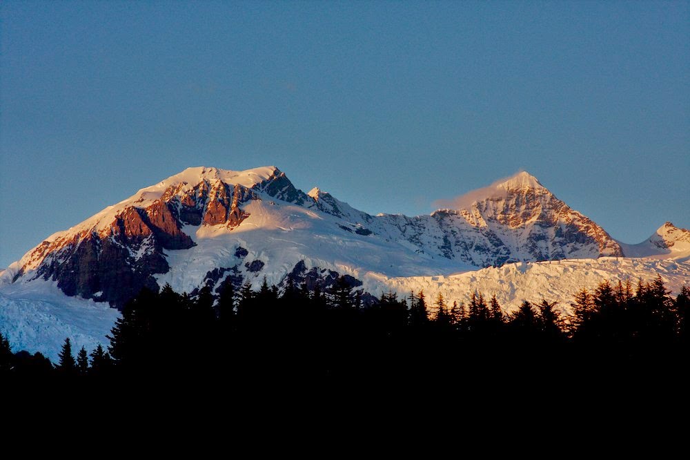
Mt. Fairweather. The Fairweather Fault runs along the long straight valley. Alsek Lake is in the foreground

Alsek Glacier and Alsek Lake


Mt. Fairweather with sand beaches in the foreground


Chris and Austin are putting up a GPS base station


Entrance to Lituya Bay. This narrow opening has treacherous tidal currents that have cost many lives, including some members of the first European visitors to the area under La Perouse.


LaPerouse Glacier is the only glacier in Alaska that reaches the outer coast. It has not changed much, in contrast to many glaciers around it. Sometimes, like in this picture, it is separated from ocean by a narrow beach, but sometimes it calves directly into the ocean.

The Glacier Bay altimetry program is quite extensive, and cannot be flown in a single day. So we camped at the beach.


LaPerouse Glacier

LaPerouse Glacier descends very steeply towards the ocean

An advancing glacier in Lituya Bay. This glacier has separated itself from tidewater and is no longer losing mass through calving. As long as it maintains sediments in front of it, it is able to advance.


Lituya Bay. An earthquake in 1958 caused a rockfall into the bay, which caused the biggest recorded wave in history. It reached up to 500 m above sea level. The scar can still be seen on the right side of the image. The lighter vegetation marks the area that was stripped by the wave.


Melbern Glacier and Lake

Monday, May 26, 2014

Airborne glacier science

For almost two decades the glaciology group has measured glacier surface elevations in Alaska with a laser flown on (relatively) small aircraft. Originally this was done with a small two-seater piper PA-12, but for the last decade or so from a much more powerful Single Otter turbine aircraft, operated by Paul Claus of Ultima Thule Outfitters. These measurements form the basis of glacier change assessments in the Alaska, the Yukon and much of British Colombia, some of the most rapidly changing areas of the world. Chris Larsen has been in charge of this program for many years, and this year I had the chance to be part of it and deploy a radar to measure ice thickness. The beauty of this program is that you can only fly in the mountains when the weather is good. So we get to see some of the most amazing mountains on Earth during this work. Below are some impressions from this May. I'll put up a few more posts from the different areas we visited.

The Ultima Thule Lodge, from where we base our operations

Frozen glacier lake

Terminus of Logan Glacier

Hanging ice in the St.Elias mountains

Ocean waves reflecting off the shore


Snow runnels. They are common, but I don't know what causes them


Lenticular clouds forming: it's windy!