Tuesday, September 1, 2020

OIB Alaska: August 2020

And here are a few more pictures from August 2020, just to keep this complete. We were flying several LiDAR glacier survey missions, based out of McCarthy. 

Rockglaciers on Rainbow Ridge, AK Range, on my way to McCarthy


McCarthy, the base of our operation


Barnard Glacier, Wrangell mountains

The beautiful moraines of Barnard Glacier


Flying over Cordova, where we stopped for fuel


Russell Glacier, Wrangell Mountains

The rapidly retreating Sheridan Glacier, near Cordova

Sherman Glacier: The entire front is covered in debris and vegetation; the result of a landslide caused by the 1964 Good Friday Earthquake.

Sourdough Rock Glacier near McCarthy

Valdez Glacier is rapidly retreating into a lake. The airport and town of Valdez are in the background.


Sunday, August 30, 2020

Brooks Range

For several years now I have been pretty good about including at least a short blurp about field work. This has actually served me well, even just for finding a few photos. But somehow with the pandemic and very reduced field work I didn't even manage to keep up with the small amount I did. So here we go.

Last August I had the opportunity to fly Chris Larsen's Lidar in the Brooks Range. We covered the Gates of the Arctic, which I knew a little bit from a previous trip and then the Arrigetch Peaks, which are a small very remote and stunning mountain range. There are only a few small glaciers left in this area.


 The endlessly meandering Alatna River
 
 
 Arrigetch peaks with a few of the remaining glaciers
 

Mt. Igipak
 

 The Gates of the Arctic

Sunday, August 23, 2020

Frozen debris lobes

 Recently I had an opportunity to look at something else in the frozen world: Frozen Debris Lobes. These are masses of debris on mountain sides that contain ice and become mobilized. As was made clear to me, they are not rock glaciers. If you don't believe me, watch this. My favorites are Infiltration Ice and Not a Rock Glacier.

I brought a Terrestrial Radar Interferometer up the Dalton Highway to try to measure the motion of these debris lobes. We have used this instrument on glaciers quite a bit, but it turns out to work really well on slower moving things as well. After a few hours of measurements we could confirm that one of the lobes moves at about 15 cm/day. 

Here is a look at FDL 7. It is a feature just left of the center of the image across the valley.


 Here is how the radar sees it (the units are in meters/day)


This picture was taken on top of a debris lobes. Opening cracks split this tree into five sections.

Margaret Darrow, the frozen debris lobe lady

Frozen Debris Lobe A is just about to take over an old road bed of the Dalton Highway. The highway was moved downslope a few years ago.


Tuesday, June 9, 2020

Every glacier seems to want a lake

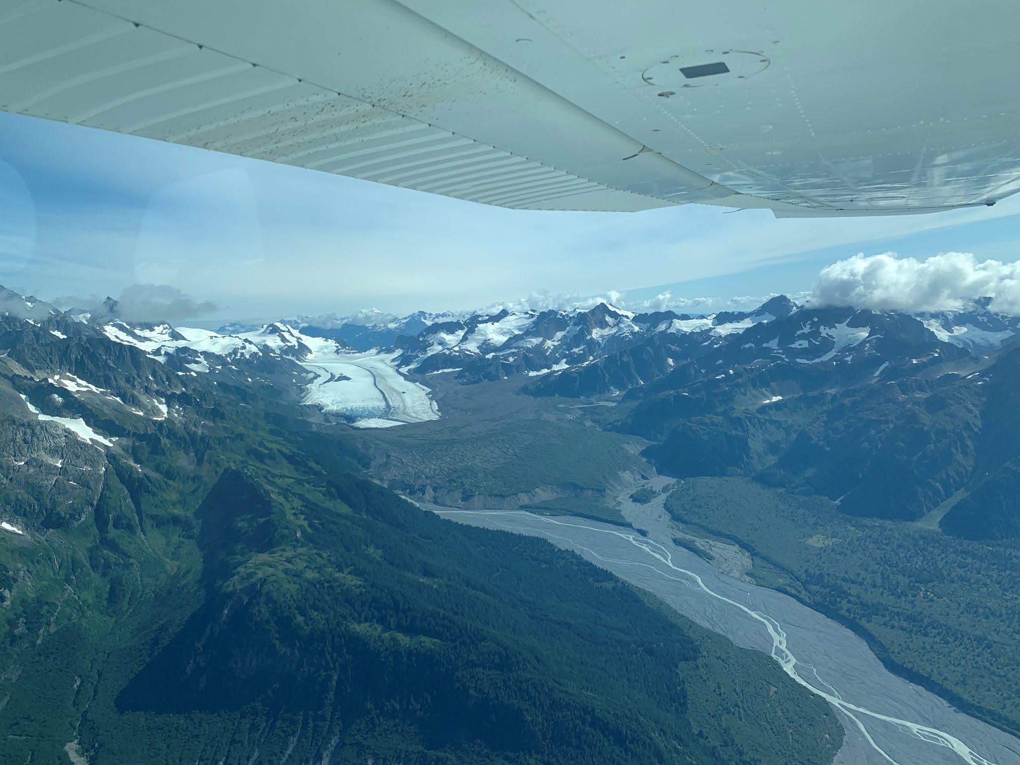
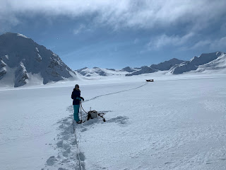
We just returned from a successful Operation IceBridge mission. This is a NASA sponsored program to measure many of Alaska's glaciers annually. The main goal are repeat measurements of the surface with a Lidar to document the loss of ice in Alaska. But we also operate a radar to measure ice thickness, which is really challenging in the wet ice that doesn't lend itself to radar wave penetration and because of the very mountainous terrain that reflects a lot of radar waves and obscures the signal from the bottom of the glacier.

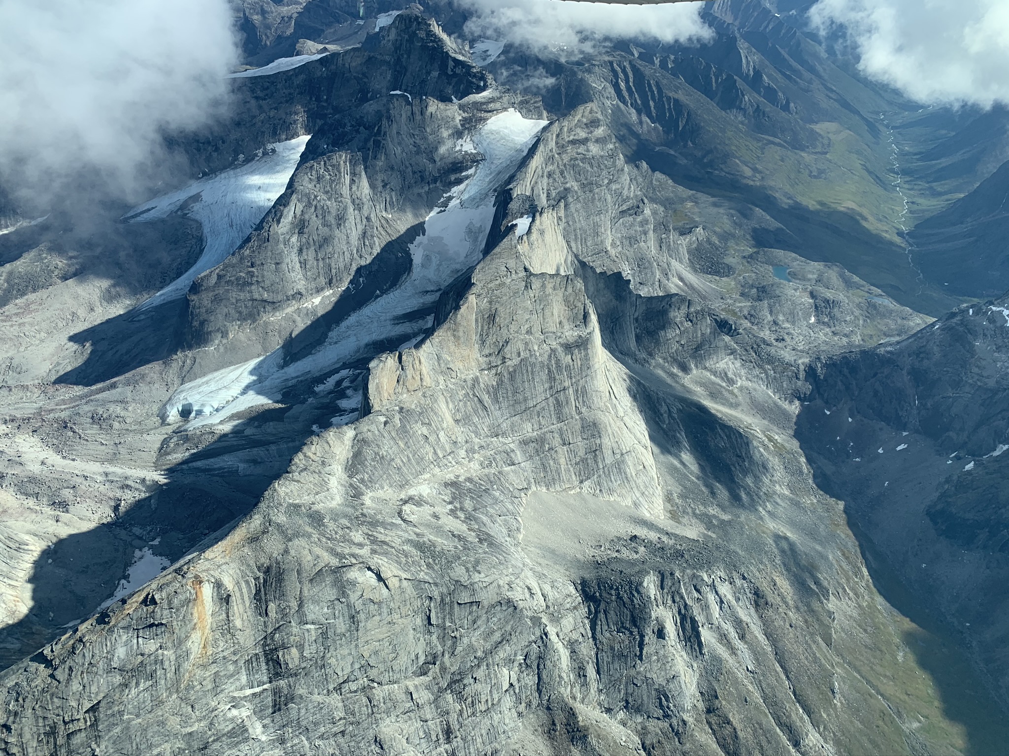
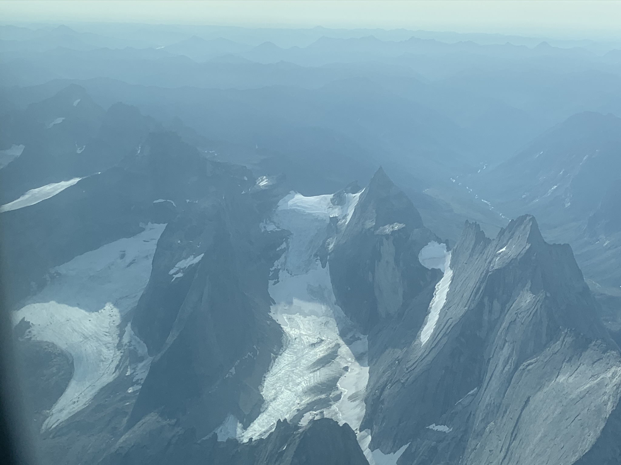
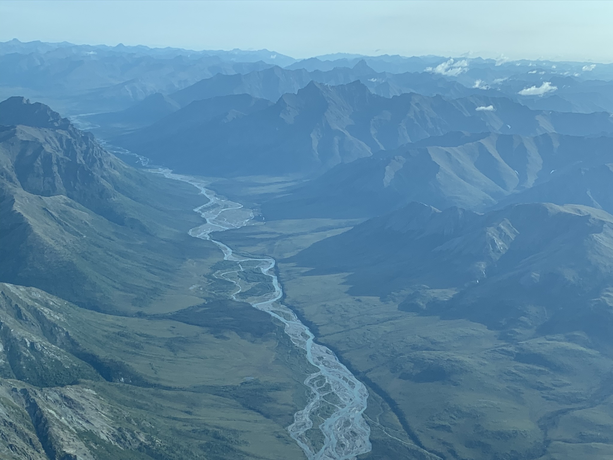
One particular treat of these survey flights is that we get to see parts of Alaska's mountains that are generally very difficult to reach and that are quite remote. I'll post some pictures in the next several posts. This first one here is about lakes.

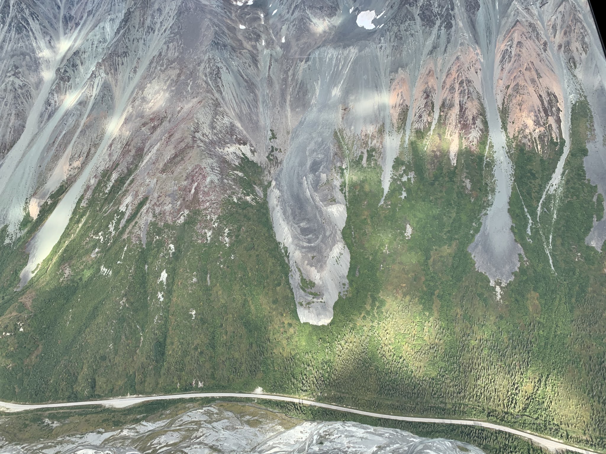
Glaciers have the odd tendency to dig themselves into holes, so when they retreat they often leave depressions that are then filled with water to create glacial lakes. Because so many glaciers are retreating, proglacial lakes are very common in Alaska, and they are rapidly expanding. Here are some examples. I'll try to add some links to Google Maps, and for many areas you can easily see the growing lakes by looking through satellite imagery in Google Earth, for example.


This glacier near Seward has been retreating really rapidly (see also AGU's From A Glacier's Perspective blog) and forming a large lake in the process. The iceberg in the picture is quite impressive in size.


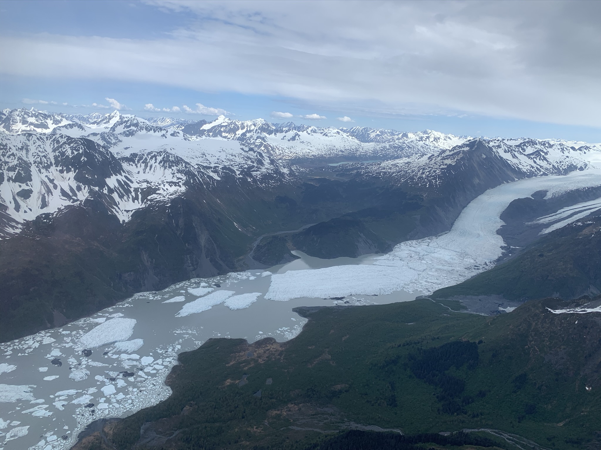
The Allen Glacier is located in the Copper River Valley. The Miles Glacier is just visible in the distance (on the left). It also has a large lake. The Copper River Railroad went down this valley to bring the copper ore from Kennecott to the port of Cordova. It was abandoned in the late 1930s. The spur is still visible in the picture. At the time the Allen Glacier was much more advanced and the railroad tracks were actually laid across the debris covered ice of this glacier and had to be frequently maintained.


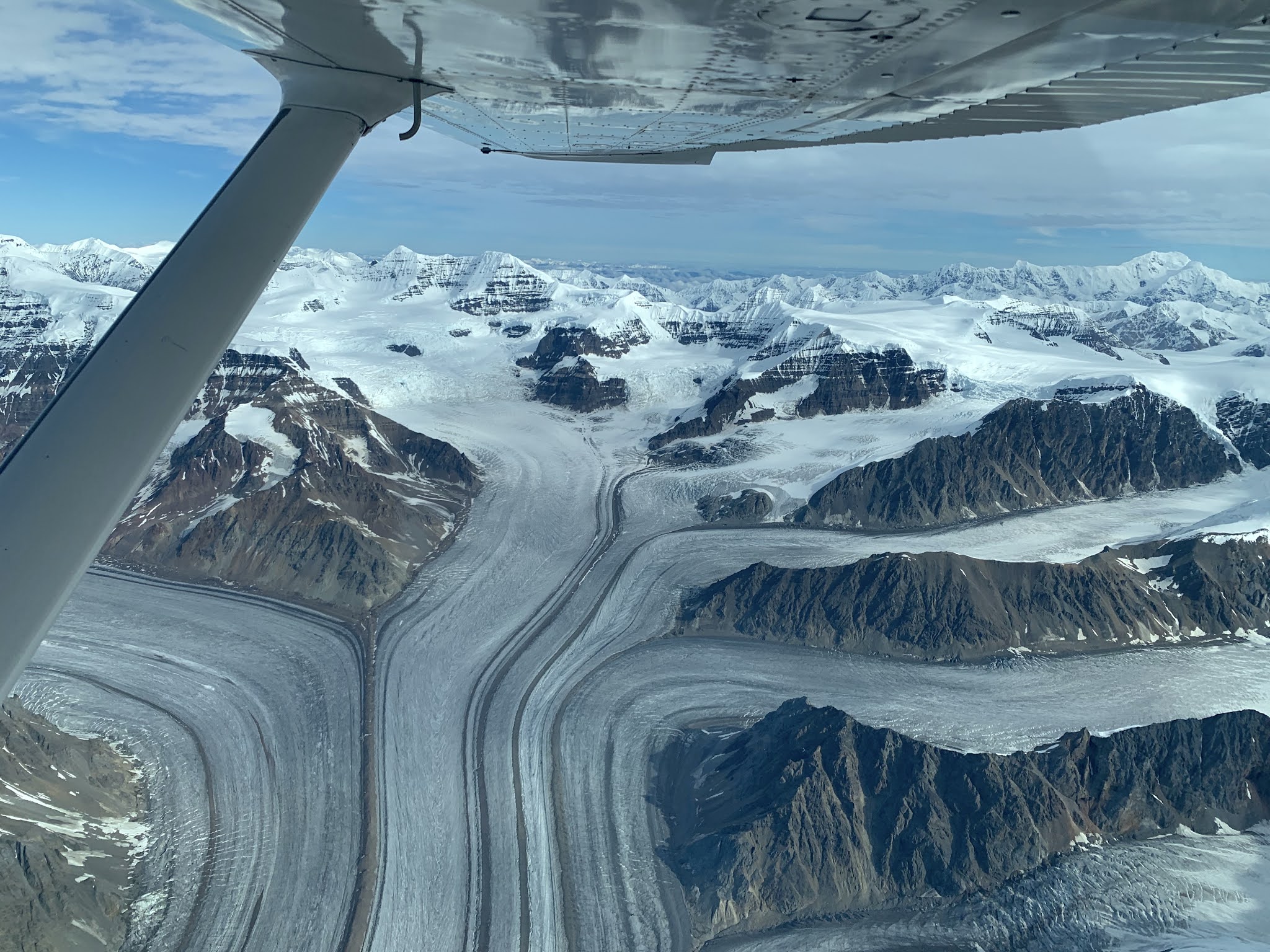
According to Wikipedia, Nabesna Glacier is the 'longest interior valley glacier on the planet'. I haven't tried to fact-check this, but it is a long glacier... As many of its friends, it is rapidly losing mass and building a big lake. There are large portions of floating ice that are ready to break off soon.


These glaciers are located in a phenomenal setting, where Mt. Fairweather rises 15,000 ft (4,500 m) straight from sea level. Both have been retreating rapidly forming big lakes.

This view is from Alsek Lake onto the Grand Plateau Glacier:

Alsek Glacier

A side branch of the Grand Plateau, creating its own lake

Terminus of Grand Plateau into Alsek Lake


I  have written about Yakutat Glacier before, since we had an NSF funded project there. This glacier is essentially doomed, since it really doesn't have any accumulation area left and it is subject to a positive feedback as the average elevation gets lower over time. The lake area in this picture was almost entirely ice covered just a few years ago.


Saturday, May 9, 2020

Black Rapids in the time of Corona

Each year we make a visit to Black Rapids Glacier to keep track of its mass loss or gains (mostly the former). The time series goes back to the early 1970s, but for the past decades it has not been funded anymore. We've been able to keep it going thanks to friendly helpers with airplanes. This year we were delayed for quite a while by weather, Covid-19 restrictions, and airplane maintenance issues. But then finally things aligned and the last two weekends we had perfect weather conditions. I enlisted my daughters as helpers, that way we didn't have to break any social distancing rules. I have not yet finished looking at the data, but it is already clear that 2019 was one of the biggest melt years in the entire, almost fifty year, record.


Wednesday, February 19, 2020

Big skies at Thwaites

I loved the cloud formations that we saw at Thwaites, especially when the weather was changing and new fronts moving through. Here's a selection: