 |
| Camera used to watch glacial lakes drain. In the background are potholes, left over crevasses from the last surge (1936/37) that are often water-filled. |
Sunday, September 7, 2014
It's already winter on Black Rapids Glacier
Last week we had a quick one-day visit to Black Rapids Glacier. After the wettest summer in Fairbanks since records are being kept, we had another impressive rain fall on the first day of September. Because it was quite cold, Black Rapids got up to 30 cm of snow and looked like the middle of winter. Luckily it was not enough snow to bury our instruments, and when we got there on Wednesday, we had a beautiful sunny day.
Thursday, September 4, 2014
Operation Ice Bridge Alaska
Every year we fly over many of Alaska's glaciers to measure changes in surface elevation. My colleague Chris Larsen has been responsible for this for over a decade now. Recently, this program has been funded through Operation Ice Bridge, a program that bridges the gap left between two orbiting laser satellites (Icesat 1 and 2).
Recently, I've been able to join this program to add a radar component with the goal of measuring the thickness of the glacier ice. For most glaciers in Alaska, we don't actually know how much ice they contain.
The beauty of airborne science is that it can only happen with good weather. Mountain flying poses so many challenges that we have to wait for conditions to be great. Last week we had five days of beautiful conditions and managed to cover a large part of Alaska's glaciers. Some impressions follow below.
 |
| Beautiful blue glacier lake |
 |
| Late fall conditions with only little snow left on many glaciers |
 |
| A drained glacier lake |
 |
| Ultima Thule Lodge: our base of operations |
 |
| The ever-amazing Mt. St.Elias from Icy Bay; 5400 m from bottom to top! |
 |
| St. Elias with Malaspina Glacier in the foreground |
 |
| Funky avalanche |
 |
| Icy Bay |
 |
| A really nice fold in Icy Bay; St. Elias in the background |
 |
| Icy Bay |
 |
| Tyndall Glacier in Icy Bay |
 |
| Some Moose enjoying the lush vegetation of coastal Alaska |
 | ||
| We saw much of the snow surface covered in red algae. This is sufficiently darker than the snow to cause additional melting and snow cups. |
 |
| Close-up of red snow algea |
 |
| The Bagley Icefield with Mt. Logan, arguably the largest mountain in the world. The area over 5000 m asl spans more than 15 km. |
 |
| Pothole central on the upper Logan Glacier. These are believed to be left-over and water-filled crevasses and are associated with surges |
 |
| A landslide onto a glacier |
 |
| The advancing Taku Glacier |
 |
| Band-ogives or Forbes bands, an alternating sequence of dark and bright ice forming under ice falls. This one is from the Juneau Ice Field. |
 |
| Close up of Forbes' bands. |
 |
| A large ice berg with runnels in the Columbia Glacier Bay |
 |
| And finally a nice look at beginning fall in interior Alaska. |
Monday, June 2, 2014
Yakutat: a glaciologist's paradise
Yakutat, Alaska, is a small town on the coast. The area around this little town hosts some incredible mountains and glaciers, some of them among the most rapidly retreating in the world, others quite happily advancing. Here are some impressions from our recent flights.
 |
| Turner Glacier seems to surge about every 2-3 years. It repeats surges more rapidly than any other glacier I know of. The surges are very violent, and nothing on the glacier remains uncrevassed. |
 |
| Turner Glacier: the surge advances a front right into the ocean. It is one of the few (if not the only) surging tidewater glacier in Alaska. |
 |
| Hubbard Glacier is an anomaly in this area: it has been steadily advancing during the past more than 100 years |
 |
| Strong tidal currents manage to keep this gap open for now. |
 |
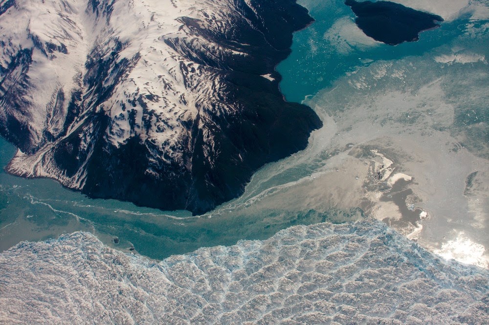
| The glacier has separated into two different glaciers recently. The ice in the lake has already broken off and will soon flush out |
Tuesday, May 27, 2014
Glacier Bay and the Fairweather mountains
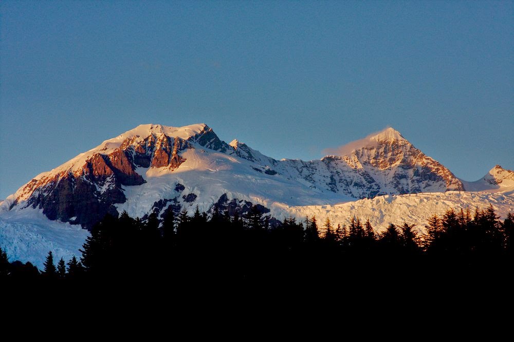
The Fairweather range in Southeast Alaska must surely be among the most spectacular mountain ranges in the world. Mt. Fairweather rises from the Gulf of Alaska to over 4000 m over a distance of only about 20 km and then it drops right back to sea level on its east side towards Glacier Bay (Google maps). The area is heavily glaciated with big glaciers dropping from the peaks to the ocean. The spectacular topography is a result of the very active tectonics of the area with the giant strike/slip Fairweather Fault cutting right along the coast.
 |
| Mt. Fairweather. The Fairweather Fault runs along the long straight valley. Alsek Lake is in the foreground |
 |
| Alsek Glacier and Alsek Lake |
 |
| Mt. Fairweather with sand beaches in the foreground |
 |
| Chris and Austin are putting up a GPS base station |
 |
| Entrance to Lituya Bay. This narrow opening has treacherous tidal currents that have cost many lives, including some members of the first European visitors to the area under La Perouse. |
 |
| The Glacier Bay altimetry program is quite extensive, and cannot be flown in a single day. So we camped at the beach. |
 |
| LaPerouse Glacier |
 |
| LaPerouse Glacier descends very steeply towards the ocean |
 |
| Melbern Glacier and Lake |
Subscribe to:
Posts (Atom)


