The Juneau Icefield Research Program (JIRP) must be the longest-running educational program in glaciology and quite possible in geophysics in general. I have a new collaborative project with the University of Maine, who is running JIRP. We did some radar work on the icefield, which is one of the places with the deepest temperate ice on the planet. I think we actually found deeper ice on the Bagley Icefield, but not by much.
Our work was done before the undergraduate program arrived and I got pretty lucky with weather for my one-week visit.
The radar was a success, we managed to measure the location of the glacier bed in the deepest parts of the Taku Glacier, at almost 1500 m ice thickness.
 | |||||
| On the way to Camp 10 we flew over the Mendenhall Glacier | . |

 |
| A look into 'Suicide Basin'. This lake created a glacial outburst flood a few weeks later that flooded several homes in Juneau. |
 |
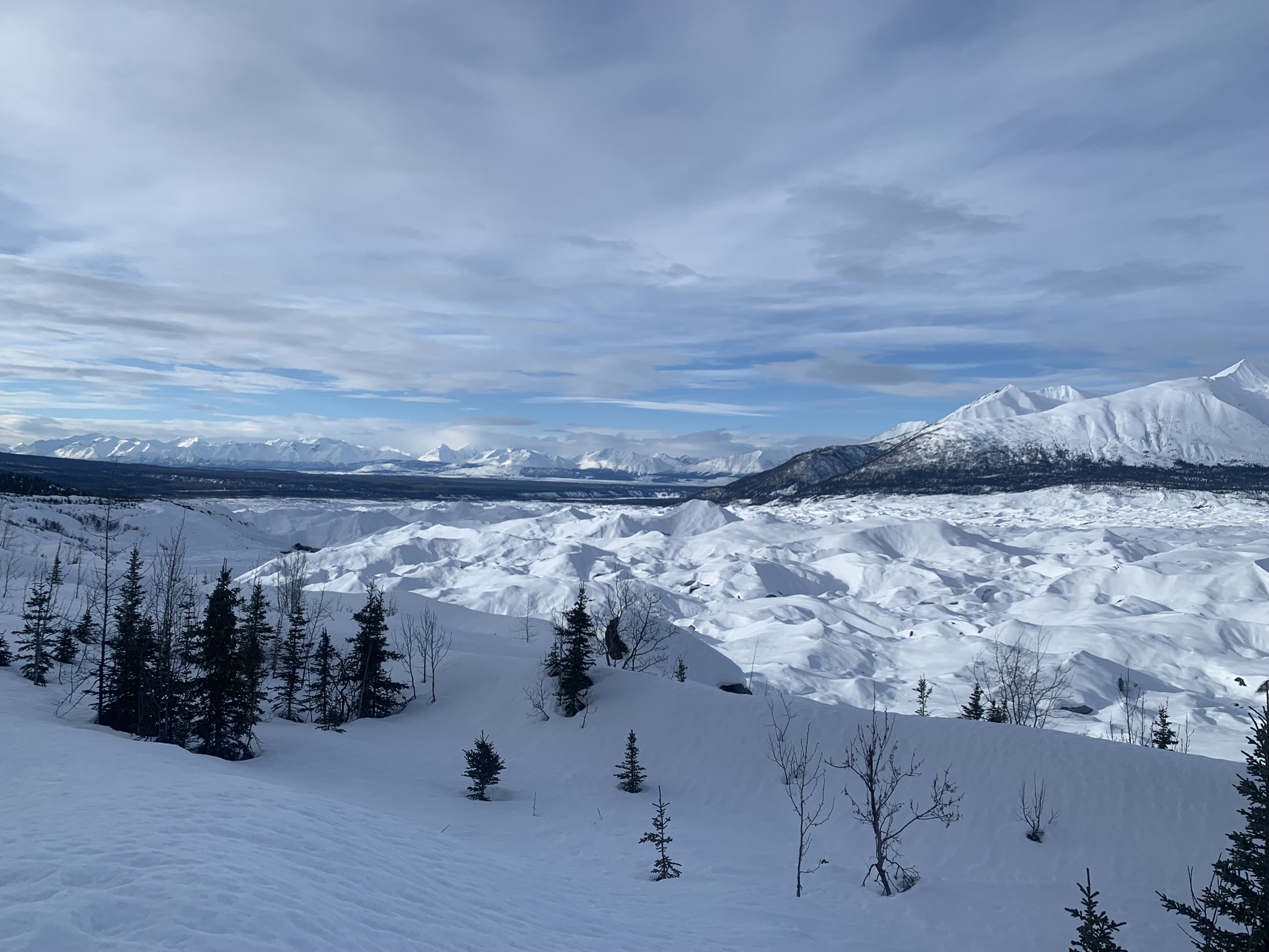
| Approach to Camp 10 |


