Saturday, April 30, 2022

The Ruth Glacier gorge

This post is more than a year late, because National Geographic was going to do a story on it, but they just cancelled it ...

We were invited to go up to the Ruth Glacier near Denali to do some ice thickness measurements. This place if of interest, because it is suspected to be one of the deepest gorges in North America. The glacier is flanked by Mt. Dickey on one side and Mooses Tooth on the other side, both of which rise over 1500 m (5000 ft) above the glacier surface. Because so much ice is funneled through this gorge it was also suspected to be quite deep and there is a report from seismic measurements that claims that the ice is over 1000 m deep. 

The area is often visited by climbers. It was also of great interest to Brad Washburn, as, for example, shown in the recent movie 'The Sanctity of Space'.

Here is a look up the gorge, with Mt. Dickey on the left:

The upper glacier (the Amphitheater) contains a large nunatak where the famous Talkeetna pilot built a mountain hut for use by climbers and skiers, or people who just want to spend some time in an amazing setting. 


This nunatak became a private inholding in Denali National Park which allowed the younger Sheldon to build a luxury lodge in an unbelievable setting. We were invited to use this lodge as a 'base camp' for a week, from where we went out to survey the glacier.


A sunrise photo of the majestic Denali towering more than 4000 m above us:

Our goal was to measure ice thickness, which we did with a specially designed low frequency radar. This was quite successful in the amphitheater where we measured ice up to about 900 m (3000 ft) thick, but the Great Gorge alluded us, probably because of the deep and narrow geometry. However, we can be pretty certain that the depth is less than a 1000 m, simply on consideration of ice flow.


A particularly nice sun rise with a sun dog:


We had mixed weather, but on snowy days we got to see some amazing snow avalanches coming off the steep valley walls.

Thursday, September 30, 2021

Malaspina fall trip

 In the last few years I've had much less field work and that made me even lazier about keeping this blog up to date. So here are some good intentions to catch up again. These are a few pictures from returning to Malaspina Glacier to pick up GPS stations and measure mass balance poles.

This is from an Alaska Airlines jet. It's a view of where the Malaspina surge advanced into a lake at Fountain Stream

A little farther east we got a nice view of where Sitkagi Lagoon has formed with a series of other lakes that cut through the vegetation and dirt-covered ice.

Revisiting a GPS station. When we left it in July, the antenna was level with the surface, about 4 m of melt.

Ice is also melting where it is covered by debris. Victor is measuring a stake that was level with the surface when we drilled it in July.

A view of the folded moraines.

Hans Munich finds a good parking spot for his helicopter.

View from our weather station,


Monday, August 30, 2021

Malaspina Glacier: July 2020 campaign

 We returned to the Malaspina Glacier a few weeks ago for a somewhat longer field campaign as part of a new NSF funded study that looks at the melt and possible future evolution of the glacier. From airborne radar measurements we know that much of the lobe of the Malaspina Glacier is based below sea level, in some places by more than 300 m, which makes it susceptible to accelerated retreat.

Malaspina is one of the last big temperate piedmont glaciers in the world. It is fed by the Seward Glacier, which is located in the big coastal mountains, nestled between Mt. Logan (5959 m asl) and Mt. St.Elias (5489 m asl). Seward Glacier then spills out on the coastal plane where it spreads out and merges with the neighboring Agassiz Glacier.


Camp put-in with Single Otter from Yakutat.

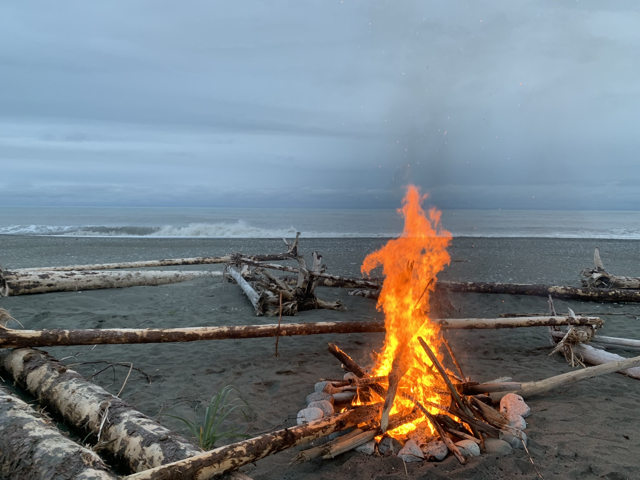
Our camp on the beach.
An automatic weather station where the Seward Glacier enters the Malaspina

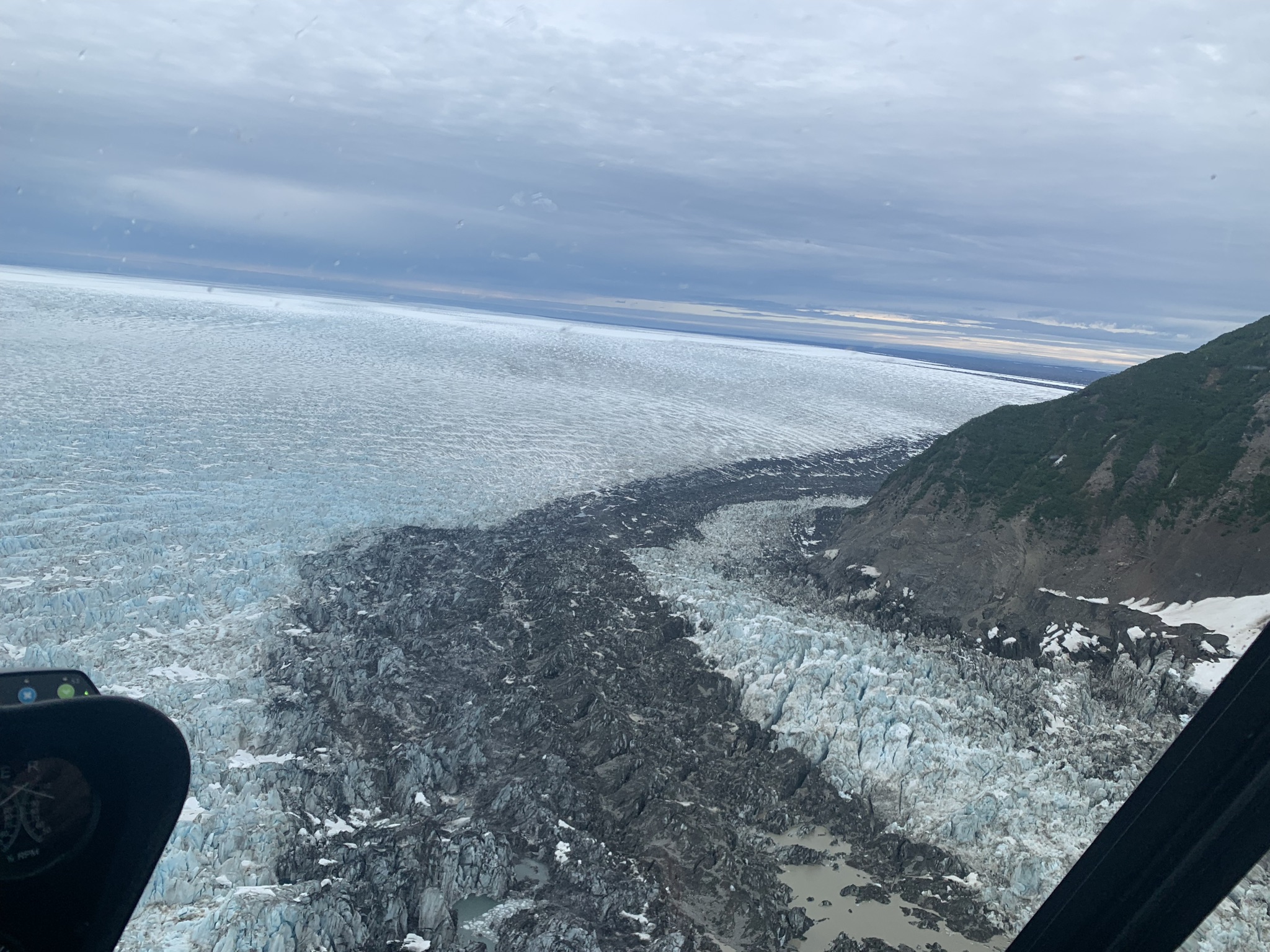
View from the Seward onto the Malaspina lobe.


GPS on the heavily crevassed ice

The front of the glacier is a wet mess with lots of buried ice and unstable ground with brush and whole forests

A nice view of Denali through a large crack in one of the many moraines


A view from above onto 'Backdoor Lake', which is one of the main avenues of current glacier retreat

Glacier front with buried ice covered in dense vegetation

Drilling a mass balance stake

A combined GPS / met station set up


Our camp site with the helicopter

An old water channel in buried ice that has lots of vegetation on top

Camp fire!

A beautiful camera location at the exit of the Seward Glacier

View across the Seward towards St.Elias