Saturday, May 29, 2021

Operation IceBridge Alaska: The last hurrah

I had the great fortune to be involved in Operation IceBridge Alaska for almost a decade. But all good things must end. We had a last campaign this May. This was primarily a radar mission. We had fantastic results, seeing glacier bed in places we were never before successful. As usual, some pictures:

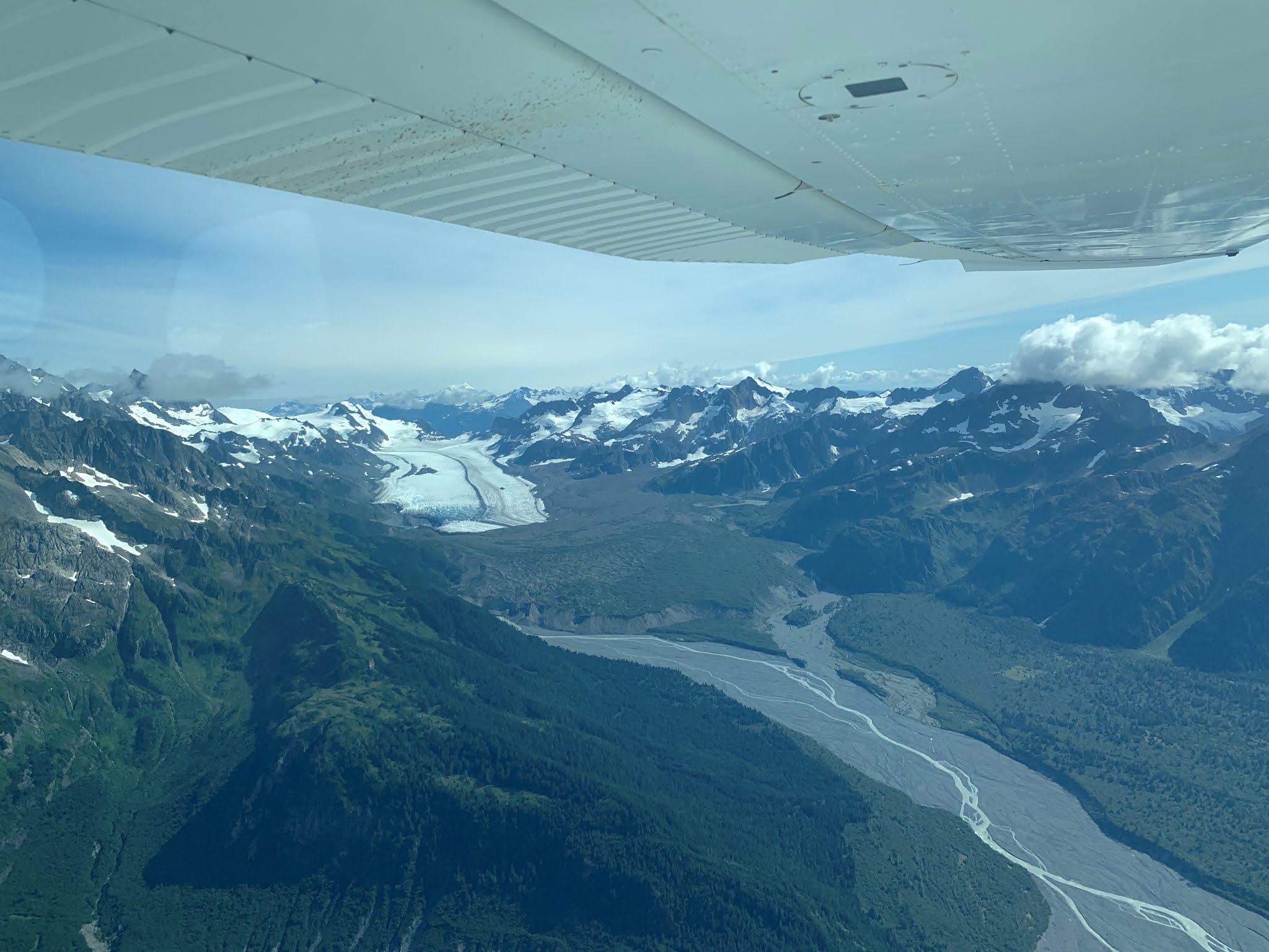
Malaspina Glacier: we flew a very dense grid over the Malaspina Glacier. Much of this large glacier is based below sea level and it is likely that this glacier will not survive in the current climate. We have just started a project to look at this in more detail.

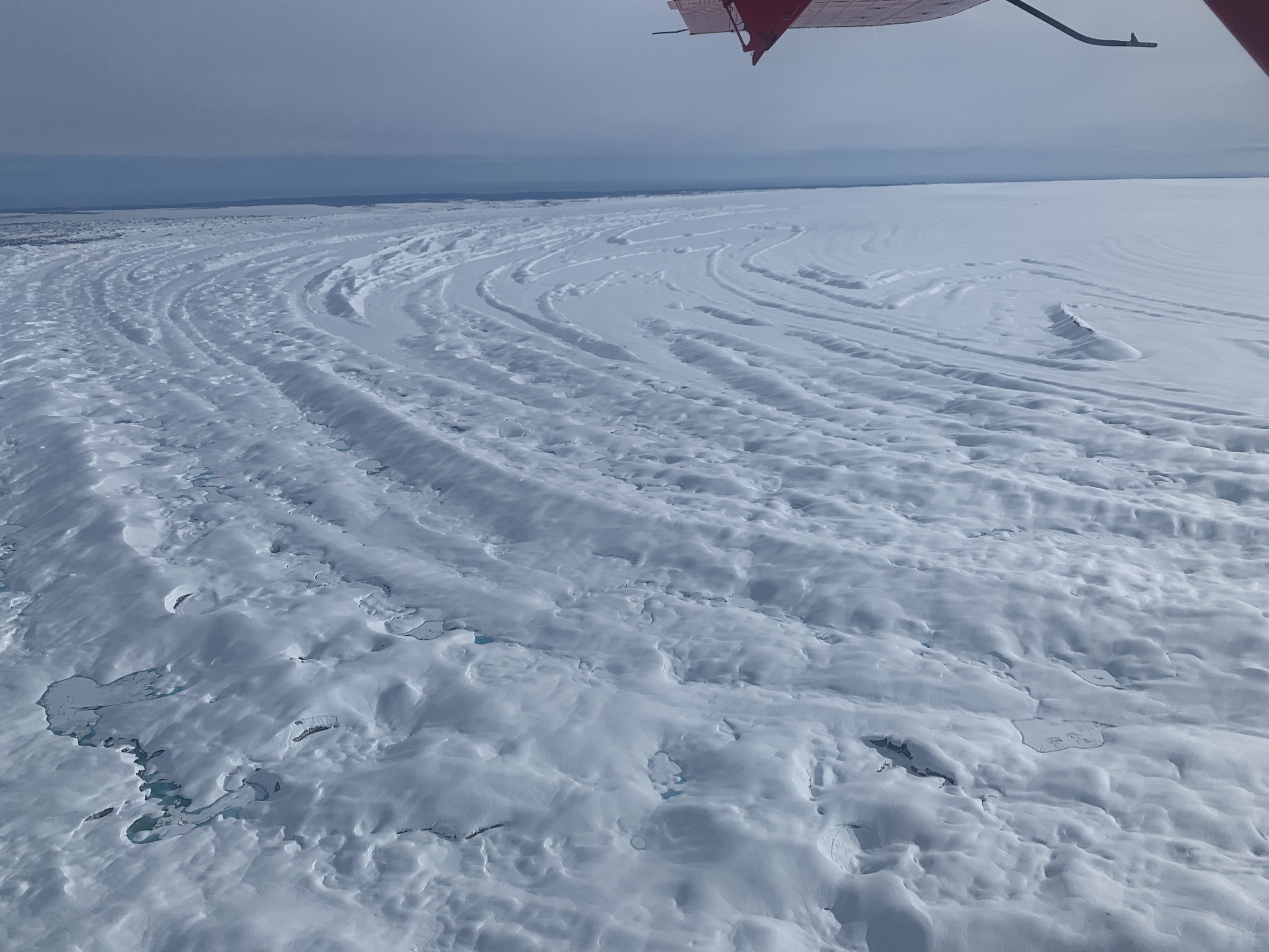
The snow covered moraine patterns on the Malaspina Lobe 

The Gulf of Alaska coast in front of Malaspina

Sitkagi Lagoon is one of the places where warm ocean water is gaining access to glacier ice

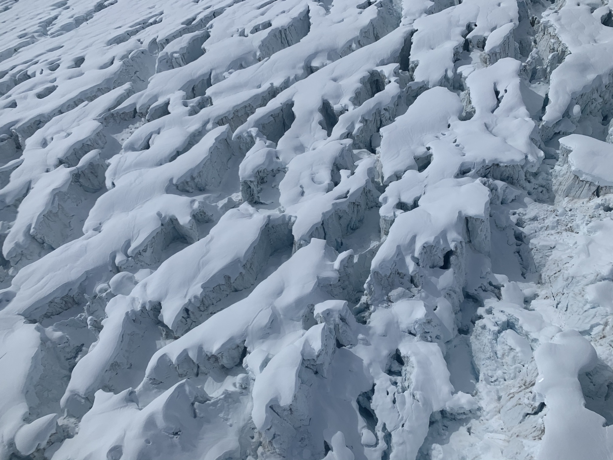
Fresh crevassing from an ongoing surge on the Malaspina

Near the surge front: the ice is advancing into proglacial lakes

A wall of advancing ice
A view from the surge front up the lobe of the glacier
This ice would have been easy to walk over, just a few months ago. Now it is totally broken up.

Ice spilling out of the Seward Glacier into the lobe of Malaspina.


The mighty St. Elias


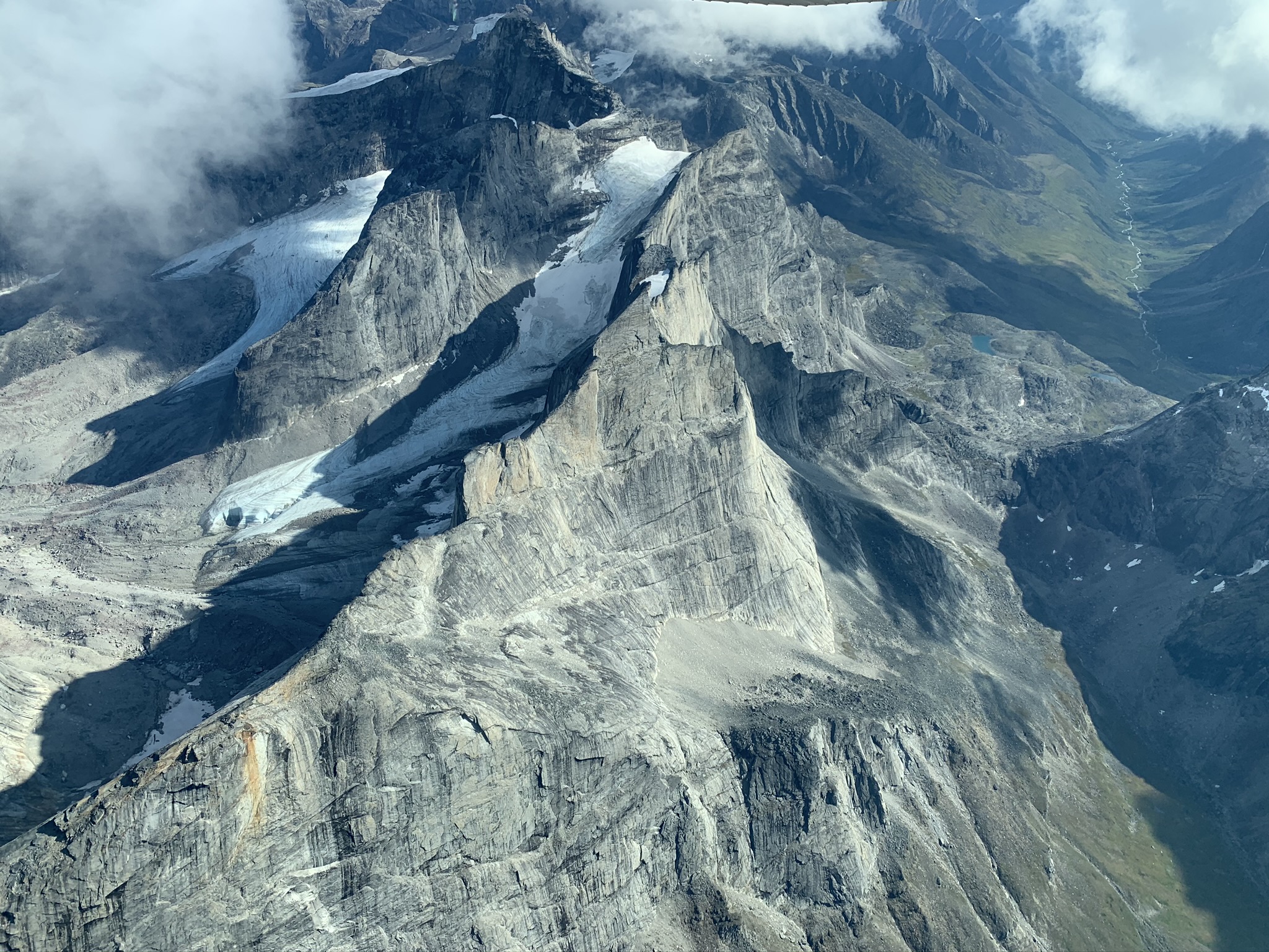
Mt. Bona: The saddle between Mt. Bona and Mt. Churchill was used as a drill site many years ago to retrieve an ice core. We acquired good ice penetrating and snow accumulation radar data over the area.

The neighboring Twaharpies sticking up through the clouds

University Peak
The saddle between Mt.Bona and Mt.Churchill


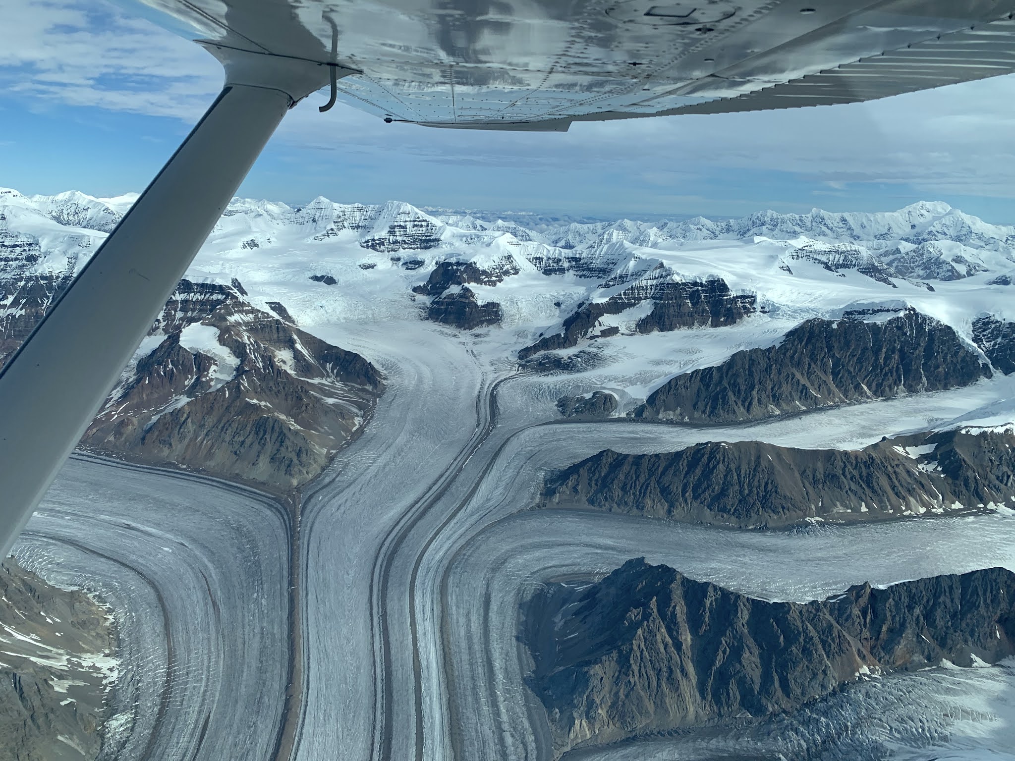
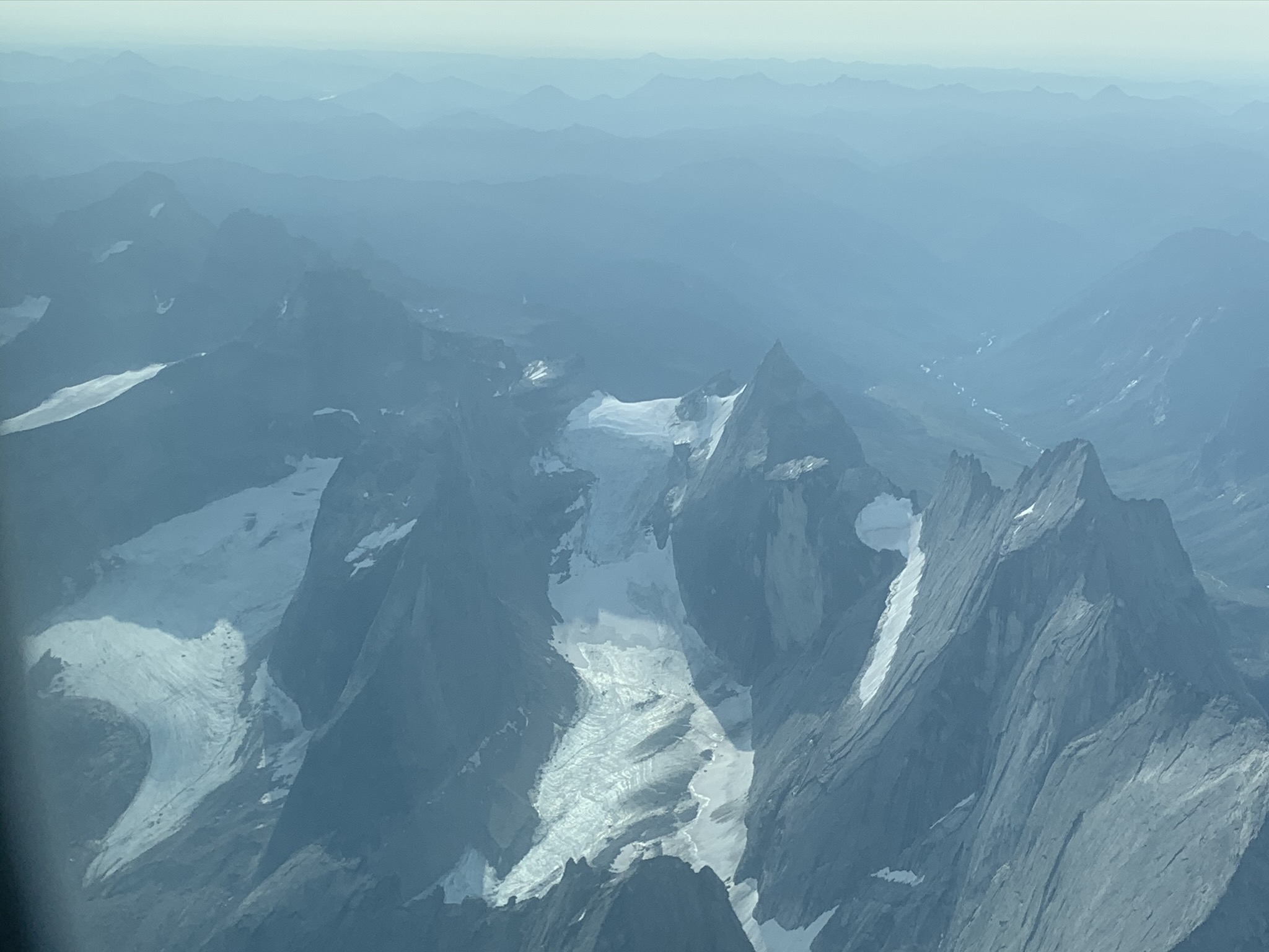
The Bagley Ice Valley: This is the largest expanse of ice in Alaska. We managed to image its base at up to 1500 m thick. I believe this is the deepest warm ice ever seen by an airborne radar.

The Bagley Ice Valley with the massive Mt. Logan and Mt. St.Elias in the far distance.

This is a view of the Hubsew ridge on Mt. Logan. This was first climbed by my PdD advisor Will Harrison, who recently passed away. He wrote a really entertaining and amazing story about the climb in the American Alpine Journal.

Clouds boiling over into the Bagley Valley; time to get out of there....

Mt. Wrangell is a large shield volcano with a deep caldera and it is the origin of one of the biggest land terminating glaciers in Alaska: Nabesna Glacier.


Mt. Blackburn on the way to Mt. Wrangell. The ridge that extends towards the viewer was first climbed (I think) by my friends Keith Echelmeyer, Franz Mueter and myself.

That's our route (approximately). The good old days ...


The Mt. Wrangell caldera with steam


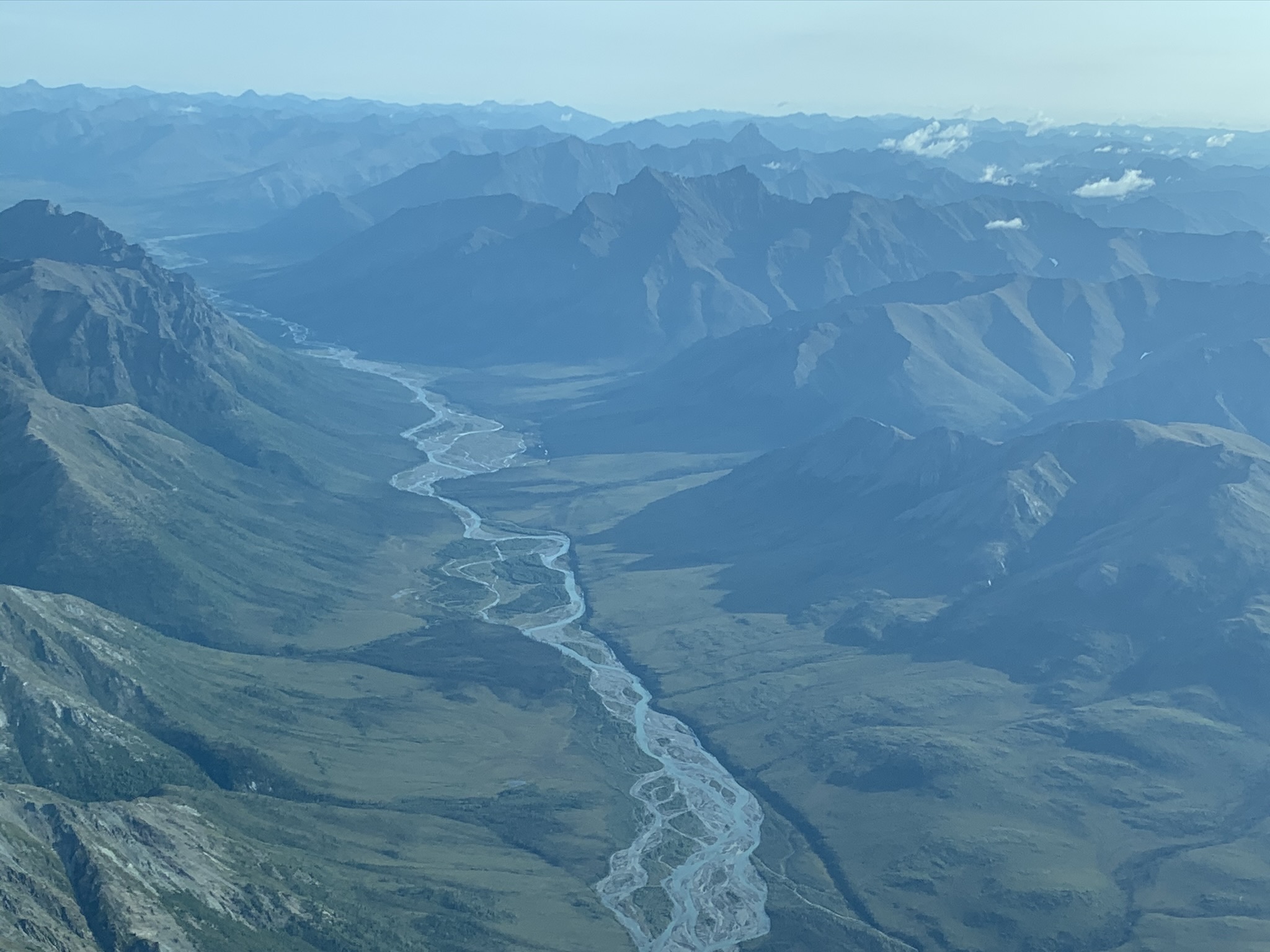
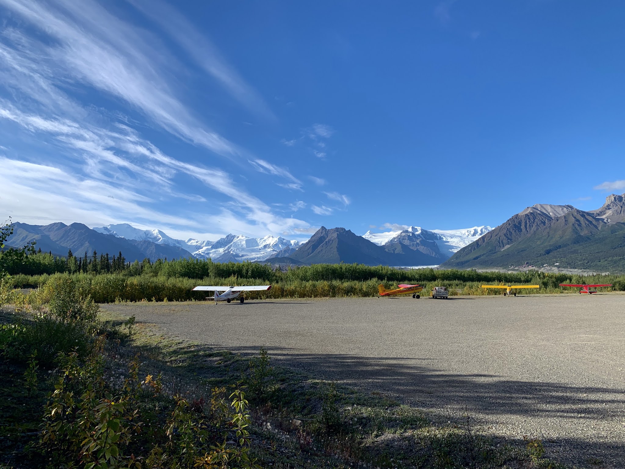
And here are a few random pictures:

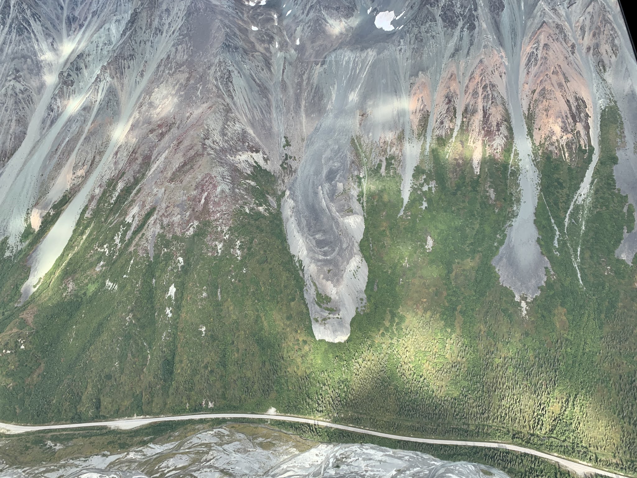
Granite Creek valley on the way back from a mission. I like this beautiful old moraine.


Icebergs breaking off from the Nizina Glacier


Vitus Lake in front of Bering Glacier
The team from University of Arizona, UAF, and University of Kansas (who did snow accumulation measurements)

Sunday, May 16, 2021

Black Rapids Glacier 2021

 As usual for this time of the year, we waited for some good weather to head back up to the Black Rapids Glacier for some mass balance measurements. At the end of April, we hit an unusually long weather window, so I actually flew up two weekends in a row (we got a bit of a late start on the first weekend). 

This was a bittersweet moment. It is always good to get back on Black Rapids, but this was the first year since my PhD advisor Will Harrison had passed away. He was quite an amazing guy, and I will always appreciate and feel lucky to have crossed paths with him. He was born in the year of the last Black Rapids surge in 1936 and always felt like he had a special connection to that place.

I haven't worked up the data from the visit yet, but a first look seems to indicate a trend of glacier melting that has been persistent for several decades now. The last year wasn't exceptionally unusual, but the glacier is showing no indication of starting a new surge, which would now be well overdue.

The Susitna Glacier, on the way to Black Rapids


Approach to landing


On the way home: Trident Glacier


Tuesday, September 1, 2020

OIB Alaska: August 2020

And here are a few more pictures from August 2020, just to keep this complete. We were flying several LiDAR glacier survey missions, based out of McCarthy. 

Rockglaciers on Rainbow Ridge, AK Range, on my way to McCarthy


McCarthy, the base of our operation


Barnard Glacier, Wrangell mountains

The beautiful moraines of Barnard Glacier


Flying over Cordova, where we stopped for fuel


Russell Glacier, Wrangell Mountains

The rapidly retreating Sheridan Glacier, near Cordova

Sherman Glacier: The entire front is covered in debris and vegetation; the result of a landslide caused by the 1964 Good Friday Earthquake.

Sourdough Rock Glacier near McCarthy

Valdez Glacier is rapidly retreating into a lake. The airport and town of Valdez are in the background.


Sunday, August 30, 2020

Brooks Range

For several years now I have been pretty good about including at least a short blurp about field work. This has actually served me well, even just for finding a few photos. But somehow with the pandemic and very reduced field work I didn't even manage to keep up with the small amount I did. So here we go.

Last August I had the opportunity to fly Chris Larsen's Lidar in the Brooks Range. We covered the Gates of the Arctic, which I knew a little bit from a previous trip and then the Arrigetch Peaks, which are a small very remote and stunning mountain range. There are only a few small glaciers left in this area.


 The endlessly meandering Alatna River
 
 
 Arrigetch peaks with a few of the remaining glaciers
 

Mt. Igipak
 

 The Gates of the Arctic

Sunday, August 23, 2020

Frozen debris lobes

 Recently I had an opportunity to look at something else in the frozen world: Frozen Debris Lobes. These are masses of debris on mountain sides that contain ice and become mobilized. As was made clear to me, they are not rock glaciers. If you don't believe me, watch this. My favorites are Infiltration Ice and Not a Rock Glacier.

I brought a Terrestrial Radar Interferometer up the Dalton Highway to try to measure the motion of these debris lobes. We have used this instrument on glaciers quite a bit, but it turns out to work really well on slower moving things as well. After a few hours of measurements we could confirm that one of the lobes moves at about 15 cm/day. 

Here is a look at FDL 7. It is a feature just left of the center of the image across the valley.


 Here is how the radar sees it (the units are in meters/day)


This picture was taken on top of a debris lobes. Opening cracks split this tree into five sections.

Margaret Darrow, the frozen debris lobe lady

Frozen Debris Lobe A is just about to take over an old road bed of the Dalton Highway. The highway was moved downslope a few years ago.