We returned to the Malaspina Glacier a few weeks ago for a somewhat longer field campaign as part of a new NSF funded study that looks at the melt and possible future evolution of the glacier. From airborne radar measurements we know that much of the lobe of the Malaspina Glacier is based below sea level, in some places by more than 300 m, which makes it susceptible to accelerated retreat.
Malaspina is one of the last big temperate piedmont glaciers in the world. It is fed by the Seward Glacier, which is located in the big coastal mountains, nestled between Mt. Logan (5959 m asl) and Mt. St.Elias (5489 m asl). Seward Glacier then spills out on the coastal plane where it spreads out and merges with the neighboring Agassiz Glacier.

 |
| Camp put-in with Single Otter from Yakutat. |
 |
| Our camp on the beach. |
 |
| An automatic weather station where the Seward Glacier enters the Malaspina |
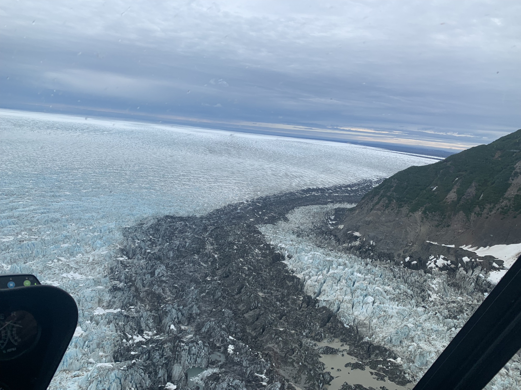 |
| View from the Seward onto the Malaspina lobe. |
 |
| GPS on the heavily crevassed ice |
 |
| The front of the glacier is a wet mess with lots of buried ice and unstable ground with brush and whole forests |
 |
| A nice view of Denali through a large crack in one of the many moraines |

 |
| A view from above onto 'Backdoor Lake', which is one of the main avenues of current glacier retreat |
 |
| Glacier front with buried ice covered in dense vegetation |
 |
| Drilling a mass balance stake |
 |
| A combined GPS / met station set up |

 |
| Our camp site with the helicopter |
 |
| An old water channel in buried ice that has lots of vegetation on top |
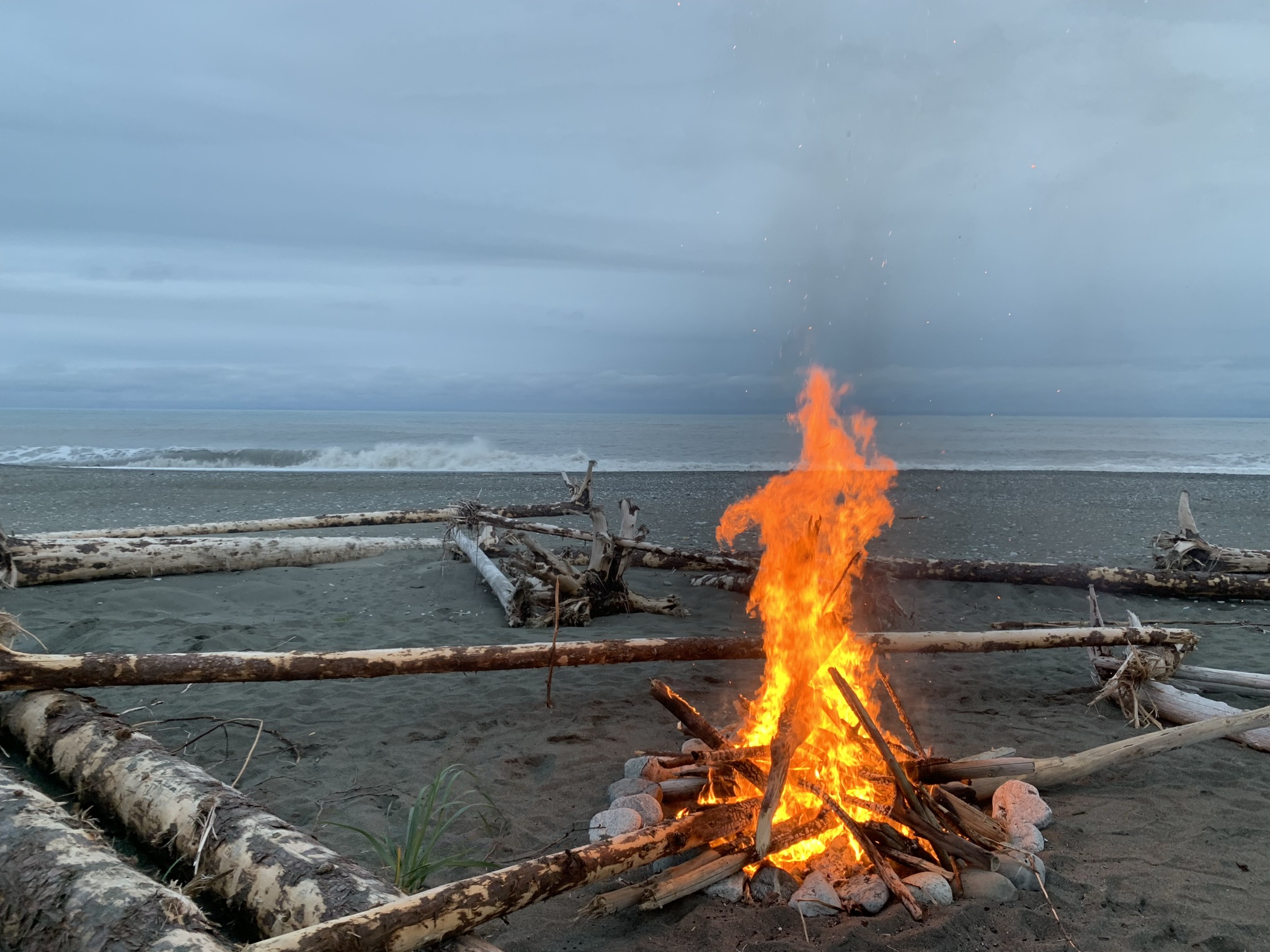 |
| Camp fire! |
 |
| A beautiful camera location at the exit of the Seward Glacier |
 |
| View across the Seward towards St.Elias |