I had a chance to join a field team in Lituya Bay, one of the most dynamic landscapes I have ever seen.
Lituya Bay is well-known for the highest ever recorded tsunami. During a large earthquake in 1958, a piece of mountain slid into the ocean and created a wave that reached to about 500 m (1,600 ft) above sea level. The scars are still visible (see picture below). There were several fishing boats in the bay at the time; amazingly some of them survived!
At that time the bay was distinctly T-shaped with open water in the area now occupied by the termini of both Lituya and Crillon Glaciers. The glacier advance is made possible by very large amounts of sediment that were dumped into the bay and that protect the glaciers from tidewater.
The Lituya and Crillon Glaciers are right on top of the Fairweather Fault, one of the most active strike/slip faults in North America. Lituya Glacier also dams Desolation Lake, which drains every year underneath the glacier into the bay in a very impressive flood.


I got dropped off by float plane from Juneau to join the team that had already been out for about a week or ten days.

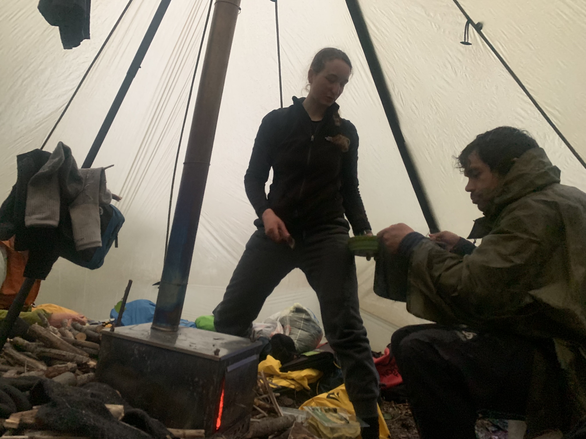
The team had already worked through some epic rain storms, and it didn't really get dry until the day we left. Saving grace was a nice common tent with a small wood stove to dry out.
My job on the glacier was to do Radio Echo Sounding to determine glacier depth. It's a challenge to operate electronics when it's so wet, an umbrella really helps!
In the mean time the 'Kontiki' (2 joined packrafts) conducted multibeam survey of the bay to see how much sediment has filled into the bay. This is probably the most innovative multibeam I have ever seen....
 |
The terminus of the Lituya Glacier. The glacier has been
|
 |
View from the Lituya towards the Crillon Glacier
|
 |
The outwash delta of the Lituya Glacier. This was all ocean a few decades ago. At the side the scars from the outburst floods are visible.
|
 |
Our last night in Lituya Bay: the weather turned nice!
|
 |
Desolation Lake, looking straight down the Fairweather Fault
|
 |
Looking out towards the Pacific with Cenotaph Island. The hill in the foreground is where the 1958 tsunami wave swept up the mountainside. All the light green vegetation shows areas that were stripped clean of trees. It is hard to imagine that.
|
 |
The 'green moraine' on Crillon Glacier
|
 |
Crillon Lake
|
 |
This was on the way out: a series of beautiful lakes occupying former glacier beds that hadn't quite reached the sea shore.
|